




Low Altitude Surveillance Radar: Seeing the Airspace Conventional Air-Search Misses
Low Altitude Surveillance Radar: Seeing the Airspace Conventional Air-Search Misses
CloudWing explains how Low Altitude Surveillance Radar Systems handle clutter, slow small targets, and persistent coverage where traditional air-search radar is the wrong tool.
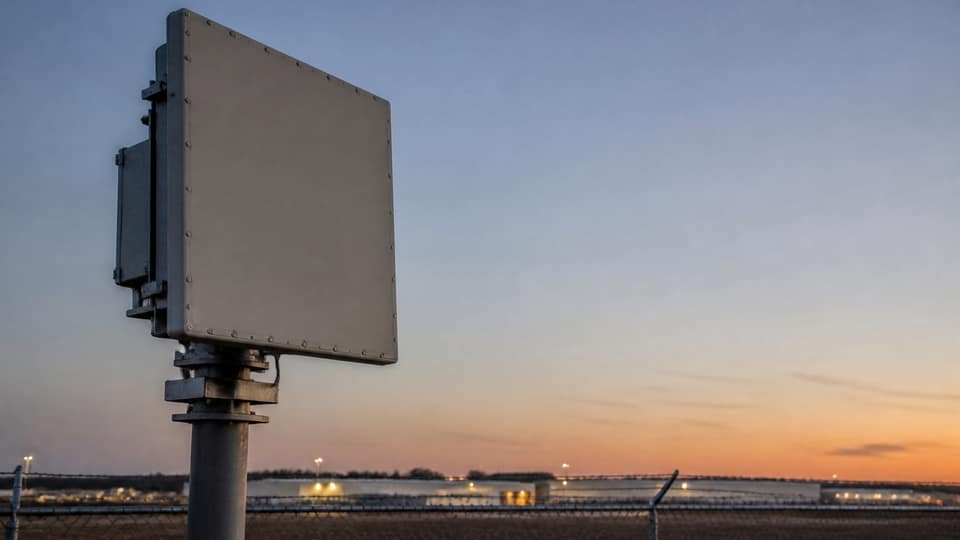
Most air-search radars were built for aircraft that fly high and fast. The threats that now worry airports, plants, and city venues fly low, slow, and small. That is the job of Low Altitude Surveillance Radar: persistent coverage of the volume just above the ground, where birds, hobby drones, and unauthorized UAVs mix with clutter from buildings, sea surface, and vehicles.
A well-specified Low Altitude Radar is not simply a shorter-range air-search set. Waveforms, update rates, and processing have to discriminate weak returns without flooding operators. CloudWing Defense designs Low Altitude Surveillance Radar Systems as the early-warning layer of a broader security architecture, with clear handoff rules to electro-optical confirmation.
Placement matters as much as the panel. A mast that looks good on a drawing can still leave a blind sector behind a hangar or along a river. CloudWing’s site surveys map those shadows before hardware is frozen, then recommend one node or several depending on the geometry—not a one-size coverage claim.
What Low Altitude Surveillance Radar should actually deliver
- Frequent revisits on priority sectors such as fences, runways, and tank farms
- Stable tracks on low-slow-small targets through moderate clutter
- Clean coordinate handoff to cameras and command software
- Networking over fiber so nodes can share one operational picture
- Thresholds that operators can tune after a shadow-mode period

Clutter is the hard problem. Urban edges and coastal sites generate returns that look like targets until an operator spends a night watching them. CloudWing therefore treats commissioning as a measurement period: run the Low Altitude Radar in observation mode, count false alerts, then tighten the workflow before anyone relies on it for response.
From a single node to a surveillance system
Low Altitude Surveillance Radar Systems scale when the communications layer is ready. Fiber backhaul keeps track messages timely across a campus. Additional panels can then fill gaps without inventing a new operations concept. That is how a single radar becomes persistent airspace awareness rather than an isolated instrument on a pole.
Customers evaluating coverage can request a scenario sketch: site map, priority sectors, and the false-alarm budget they can live with. Those three inputs usually decide whether one Low Altitude Surveillance Radar is enough—or whether a small network is the honest answer.