


Low Altitude Surveillance Radar Systems: Building a Layered Air Picture
Low Altitude Surveillance Radar Systems: Building a Layered Air Picture
Low Altitude Surveillance Radar Systems build the low-level layer of a common air picture, so a single operator sees near-field threats without the clutter of a long-range set.
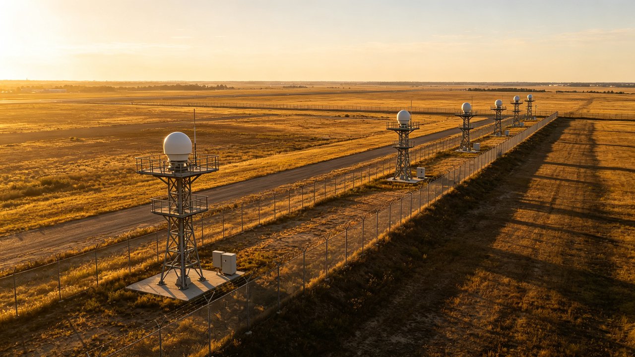
A common operating picture is only as good as its lowest layer. Low Altitude Surveillance Radar Systems provide that layer, watching the first kilometers above the ground where small drones move and where long-range search sets are least sensitive.
Because they are designed for close ranges, Low Altitude Surveillance Radar Systems can afford higher update rates and finer Doppler resolution. That gives the operator a live, low-noise picture instead of a slow scan full of gaps.
Designed to feed one picture
CloudWing builds Low Altitude Surveillance Radar Systems to publish tracks into a single command interface. The radar can be a standalone layer or part of a larger package with mid-range radar and electro-optical cameras. Either way, the operator sees one picture.
- A low-level layer that long-range search sets miss
- High update rates and fine Doppler resolution for small targets
- Standardized track output into a common operating picture
- Flexible to run alone or with EO and counter-UAS effectors
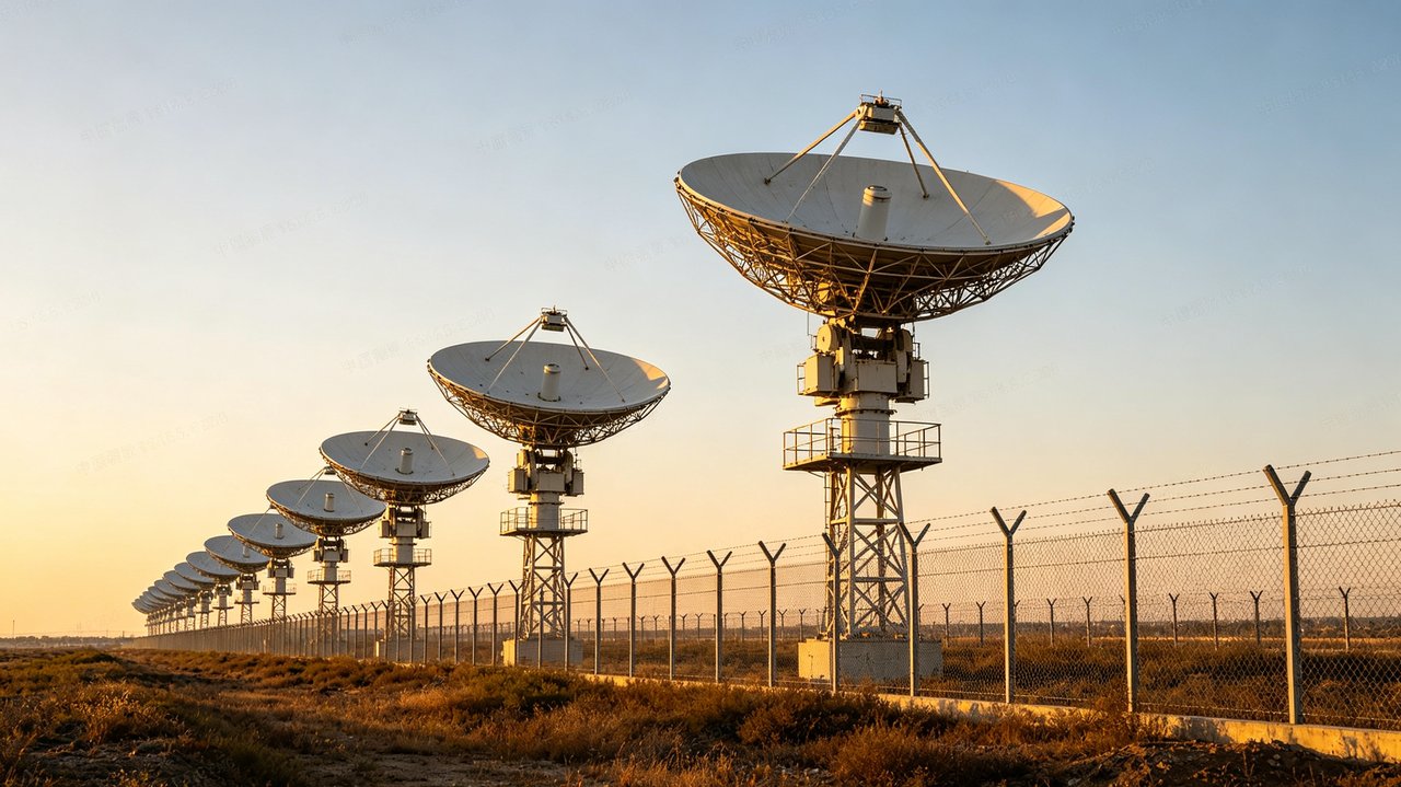
- Mast, vehicle, and shelter installations for persistent coverage
If your air picture has a blind spot below the horizon, Low Altitude Surveillance Radar Systems are the layer that closes it, and they do it with fewer false alarms for the team on duty.